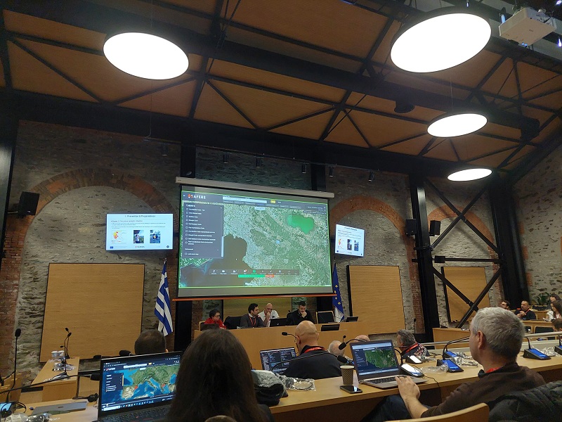
Agencies from Greece, Italy, France and Spain participate in the European SAFERS project
During natural disasters, people share images and comments on social media, and most people are aware of this, as well as the fact that a large amount of information, both related and unrelated to an emergency, accumulates on social media.
For the above reason an algorithm was trained, through artificial intelligence, to recognize in X the information related to a forest fire. In a second stage and with the help of human intervention, it is established whether the result of the algorithm can be reliable and useful to help manage a fire.
As Claudio Rossi, coordinator of the European project SAFERS (Structured Approaches for Forest Fire Emergencies in Resilient Societies) and representative of the Links Foundation, a private non-profit research center based in Turin, Italy, reports to APE, this is only one of three artificial intelligence applications developed in the framework of the project, with the aim of creating a forest fire management platform and a decision support system.
“We collected for a year and a half data from twitter in Europe and worldwide and in various languages including Greek. Artificial intelligence can help humans as it reduces a large amount of data into an amount of information that can be evaluated as reliable or not by humans. This element allows to avoid data overload on social media since the algorithm was trained to recognize an image or text as related or not to a fire,” he notes characteristically.
At the same time, he comments that the presence of the press is strong in X, which makes the information more reliable than that of individual users. In light of the recent changes to media rules and charges, it highlights the need for policymakers to have access to social media for applications operating in emergency situations.
A second algorithm, according to Mr. Rossi, is used to predict the spread of a wildfire, based on data such as the fire’s starting point, weather conditions, meteorological data, soil type and area vegetation. Another AI application has been developed to delineate burned areas using satellite data and drone imagery. In the same vein, Iosif Vourvachis, director of development and European projects of the Hellenic Rescue Team, which participates in the SAFERS project, emphasizes that the use of algorithms can be used to monitor reforestation efforts so that appropriate modifications can be made.
The European project, implemented within the framework of the Horizon 2020 program, started in 2020 and will be completed in March 2024. It involves actors from Greece, Italy, France and Spain. In particular, from the Greek side, the Hellenic Rescue Team, EKETA and the Ministry of National Defense participate.
During today’s presentation of the platform, Mr. Vourvachis noted that it has been implemented to a significant extent while its goal is to support the entire fire management cycle: from preparation, analysis of satellite and meteorological data, their combination in different areas , the assessment of fire risk, the support of response actions up to the information of the operations center and citizens and the restoration of a disaster.
“In the pilot tests we use two cameras. Obviously even more can be connected to the system. Two cameras have already been connected in Thessaloniki, one in the forest of Sheikh Sou that looks towards the forest – and not only – and the other in a camp,” he said. In addition, he emphasized that through the system, automated messages can be sent to citizens or first responders (fire brigade, police, volunteers, regional municipalities, etc.) in the event of an increased risk index for fire, while it is possible to formulate reaction scenarios, such as the use of helicopters, planes, pedestrian sections or barriers, the planning of actions and the assessment of their possible results.
Once the platform is completed, the right to use it will be given to any organization that wishes, for one year free of charge.


