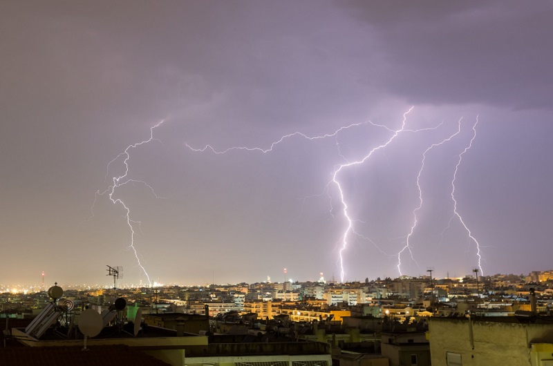
Showers, thunderstorms and gale-force winds expected – In which areas will the conditions be severe tonight
A new wave of bad weather is expected from tonight into Wednesday, with showers and locally strong thunderstorms, mainly tomorrow, but also gale force winds, which will be caused by a deep barometric low from north-west Europe, moving south-east.
Specifically, according to the available prognostic data of meteo.gr/National Observatory of Athens, for today few clouds are predicted gradually increasing in the west and south with local rains after the afternoon in the western Peloponnese, western Sterea, Ionian and Epirus. Gradually and through the night and into the early hours tomorrow the effects will intensify and extend further east.
During the day tomorrow, rain and localized storms will occur in the greater part of the country. The rains and storms will be intense in places and significant amounts of rain are expected mainly in western Sterea, western and southern Peloponnese, Epirus, the Ionian Islands and Thrace.
On Wednesday, the phenomena will gradually be limited to the eastern Aegean, where until midday rains and locally strong storms are expected, while local rains are expected in southern and western Peloponnese, western Sterea, Epirus, Cyclades and in the early morning hours in eastern Sterea and southern Evia .
According to the categorization of the rainfall episode (Regional Precipitation Index), which is applied by the Meteo unit of the National Observatory of Athens, the rainfall episode for tomorrow, when the most intense phenomena are expected, is classified as Category 4 (Very Important).
At the same time, a significant strengthening of the south-southwest winds with intensities of up to 8 Beaufort in the Aegean is expected tomorrow. A gradual weakening of the winds is expected from the early morning hours of Wednesday.


