
In which areas will the effects be more intense?
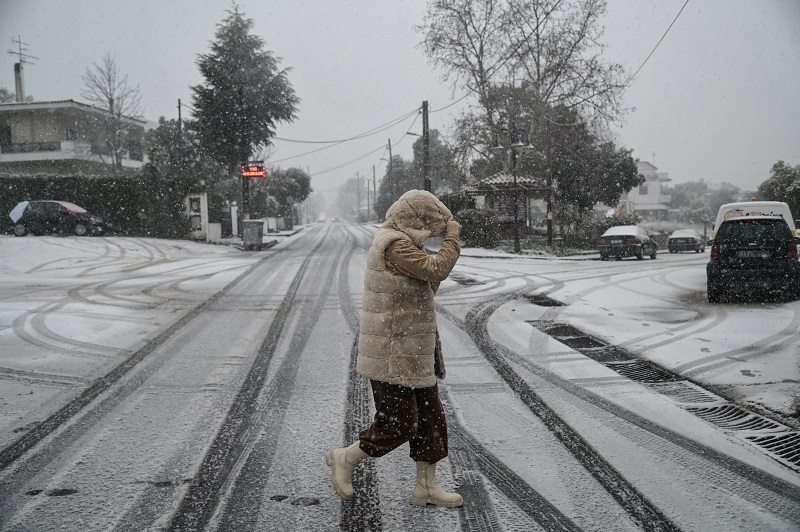
The weather will worsen on Monday and Tuesday, with locally heavy rains, storms mainly in the sea and coastal areas, locally stormy winds in the seas, snowfall in the mountains and temporary in semi-mountainous areas of central and northern Greece mainly in the northwest.
In particular:
A. On Monday (23-12-2024) heavy rains and coastal storms are predicted:
1. Initially in the northwest (northern Ionian, Epirus) and quickly in western Sterea, the rest of the Ionian and western Peloponnese. In the evening from the northwest the effects will weaken.
2. From the afternoon in eastern Macedonia, Thrace, the islands of the Eastern Aegean, the Dodecanese and Crete (mainly the west and the south). From noon on Tuesday (24-12-2024) the phenomena will be limited to the Dodecanese and will weaken.
B. On Monday (23-12-2024) locally in the Ionian and after noon locally in the Aegean, stormy south southwest winds will blow.
C. Snowfall will occur on Monday (23-12-2024) in the mountainous continental trunk, locally and in the semi-mountains of the central and northern country, which will temporarily be dense mainly in western Macedonia. The snowfall will continue on Tuesday (24-12-2024) with decreasing intensity mainly from noon onwards.
More details on the development of the weather in the regular and extraordinary weather bulletins, on the website of EMY (www.emy.gr).